Regarding Tuojie Cloud Atlas
Focusing on fully automated digital intelligence and AI large model industry applications

Tuojie Yuntu, a high-tech enterprise specializing in the independent R&D of confidential-grade fully automated high-precision scanning software and hardware stacks. Focused on five vertical fields—cultural heritage and archaeology, public security forensics, customs quarantine, academic research, and germplasm specimens—it delivers domestically developed, secure, and lossless 3D digitization solutions. Addressing industry pain points such as data export restrictions, incomplete certifications, and cumbersome operations of imported equipment, it safeguards national digital assets in cultural relics, judicial evidence, and biological germplasm with micron-level imaging, offline confidential architecture, and fully automated scanning technologies, establishing a homegrown technological foundation.

Tuojie Cloud Atlas is a national high-tech enterprise integrating optical hardware, AI reconstruction algorithms, confidential software system R&D, standardized mass production, and industry-customized services. It specializes in the research-grade non-destructive 3D scanning field and focuses on developing dedicated equipment for fiscal procurement scenarios within institutional systems.  

The company's core R&D team comprises experts in optical imaging, machine vision, cryptographic security, cultural relic digitization, and forensic evidence technology, with over a decade of experience in 3D reconstruction and confidential system development and implementation.  

The equipment is paired with an integrated confidential 3D reconstruction platform, featuring five industry-specific plugins for cultural heritage, forensics, customs, universities, and scientific research. It natively interfaces with national cultural relic big data, public security forensic evidence cloud, customs germplasm resource databases, and university virtual teaching platforms.  

The company has delivered projects for multiple provincial museums, capital forensic centers, first-tier direct customs offices, and Double First-Class universities. Its equipment is fully compatible with national-level initiatives such as cultural relic surveys, forensic evidence preservation, permanent digitization of insect and plant specimens, and virtual teaching in higher education.



Development History
Learn about the development history of the Global 3D & Spatial Information Industry
2026

Currently, global digital security and independent innovation have become the dominant themes of the era. 3D scanning is no longer limited to single-object/space acquisition but has evolved into an integrated all-domain solution encompassing 2D graphic digitization, desktop precision 3D scanning, large-scale scene reconstruction, and embodied robot autonomous collection. Gaussian real-time rendering, spherical visualization, multi-mode intelligent fill light, and electric automated servo control have become standard features of high-end equipment, with modeling efficiency and texture restoration accuracy improved several times over traditional devices.

2025

Artificial intelligence, GPU parallel computing, and Gaussian splatting real-time rendering technologies are advancing rapidly, propelling the global 3D scanning industry into the AI-driven intelligent era. AI-powered noise reduction, automatic texture mapping, and ultra-fast 3D reconstruction algorithms have significantly reduced modeling time. Spatial scanning now integrates inertial navigation and visual positioning to achieve seamless indoor-outdoor real-world replication. Device forms have diversified into three main categories: desktop precision object scanning, large-scale mobile spatial scanning, and portable handheld scanning.

2020

With the improvement of computer processing power and the iteration of CCD imaging chips, optical photographic 3D scanning and mobile spatial SLAM scanning technologies have moved toward commercial implementation. Manufacturers, represented by leading European and American brands, have introduced lightweight desktop 3D scanners and handheld spatial scanning devices. 3D reconstruction algorithms have gradually matured, enabling the complete generation of point cloud 3D models of objects. Large-scale spatial scanning is widely applied in fields such as architectural BIM, ancient building surveying, and urban real-scene modeling.

2016

The initial wave of global informatization emerged, with developed countries in Europe and America taking the lead in fundamental research on three-dimensional spatial digitization technologies. Based on the foundational principles of laser ranging and optical triangulation, research institutions developed the first-generation laser 3D scanners and single-point spatial ranging devices. These devices were bulky and had extremely high operational barriers, limiting their use to niche defense research scenarios such as aerial surveying and precision component inspection in military and aerospace applications.

2011
Jointly with kabis, we have launched the KABIS series of fully automatic scanners.
Digital twin solution for movable cultural relics
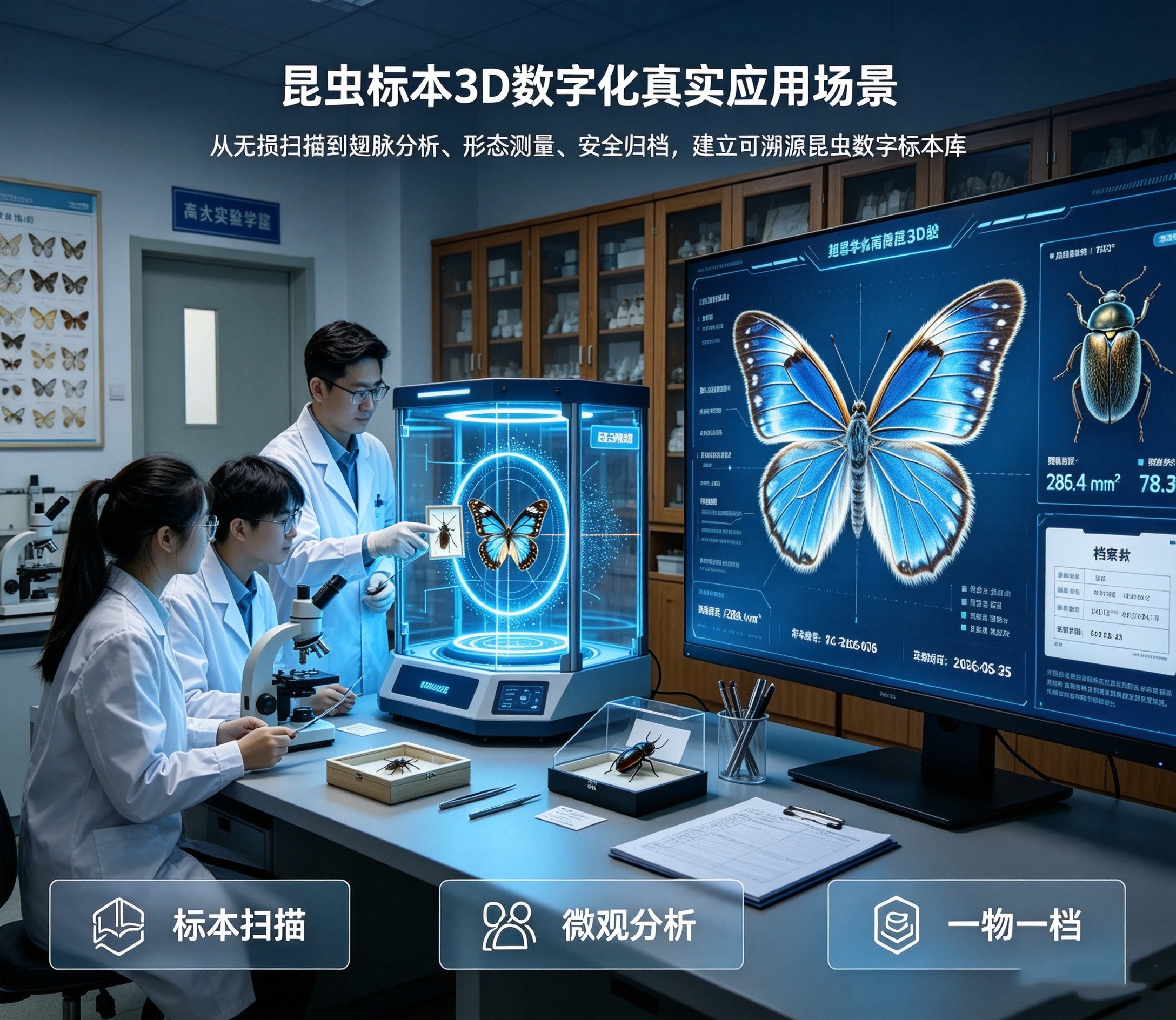
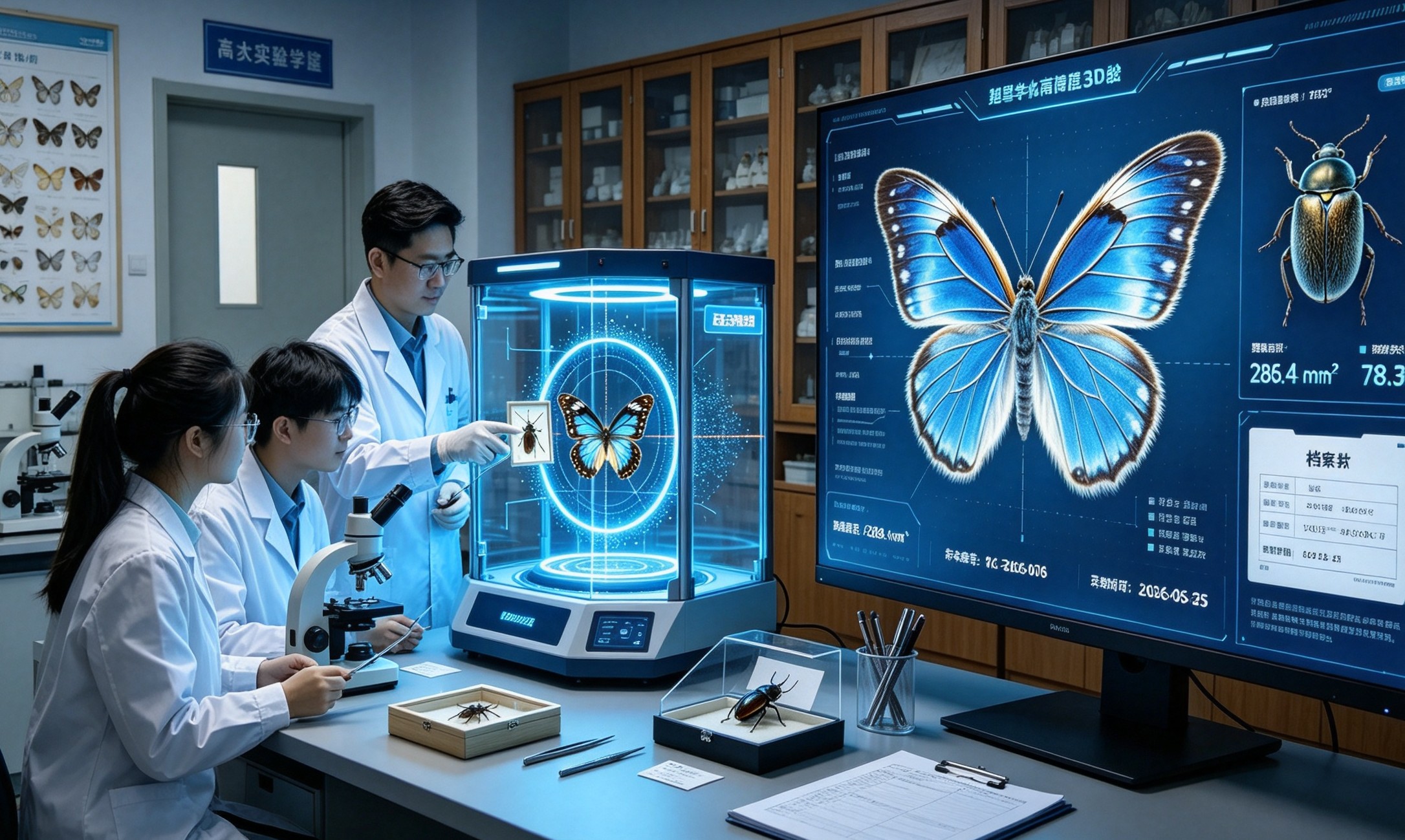
3D digitization scheme for insect specimens
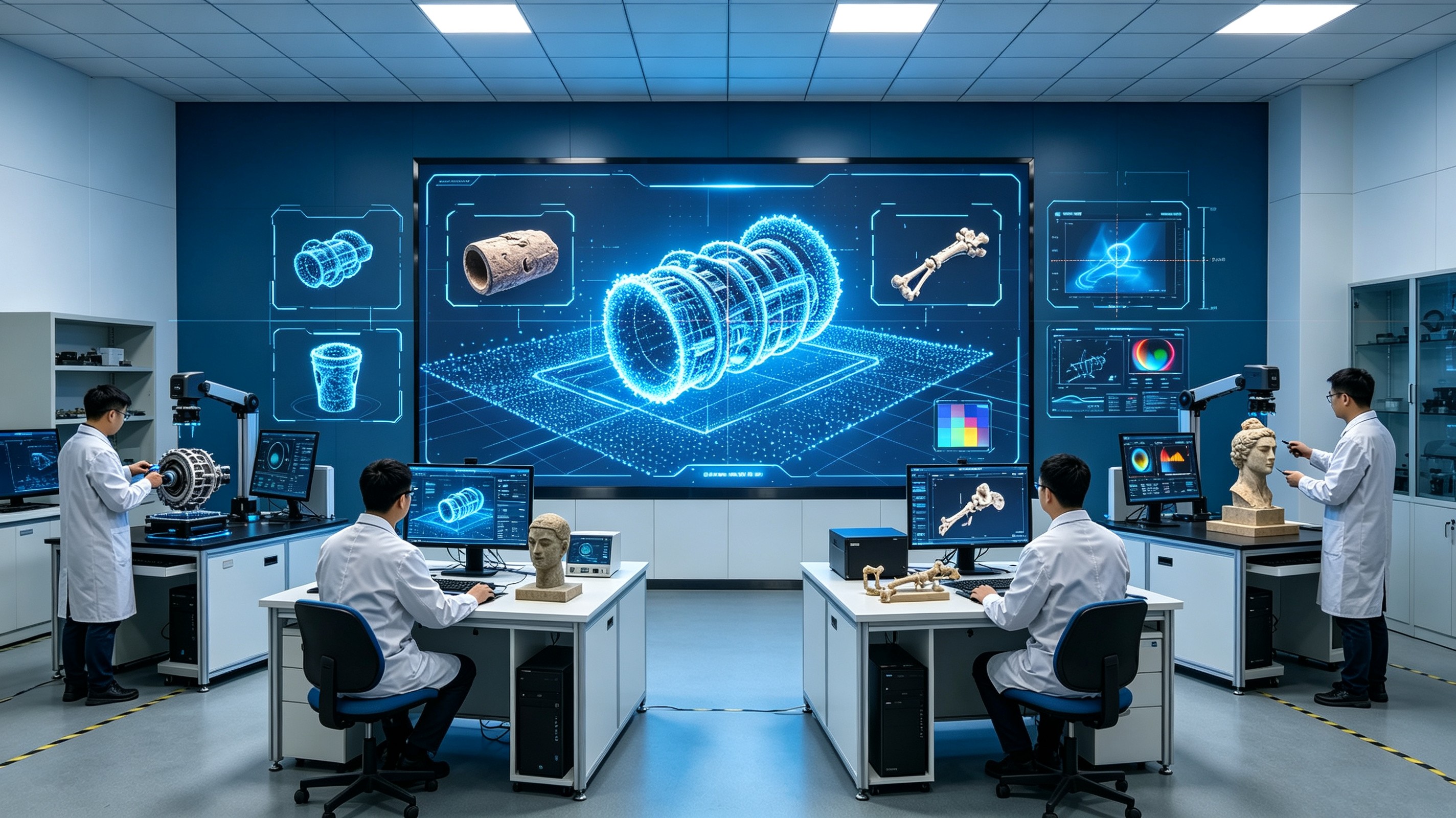
Digital twin solution for higher education research institutions
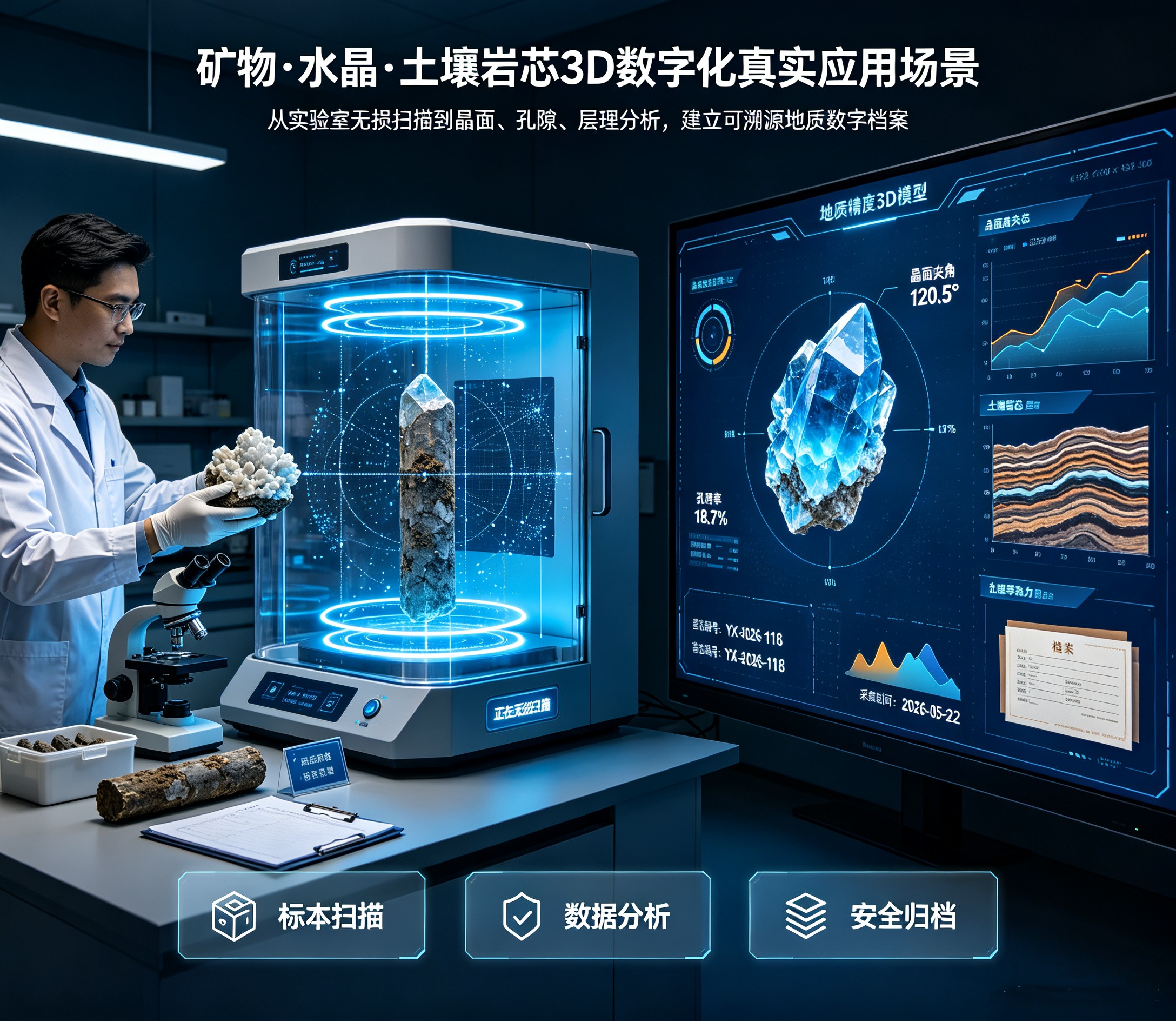
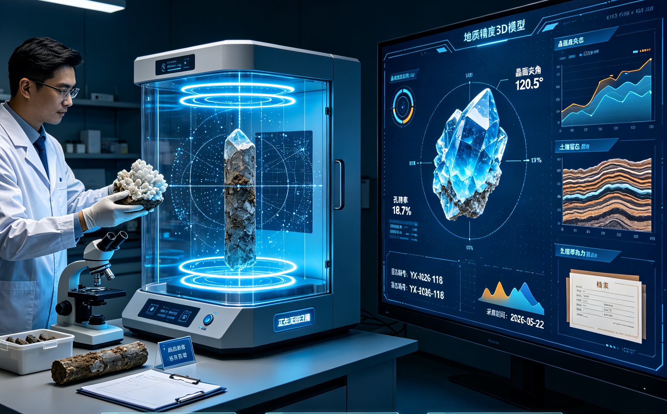
3D digital solution for ores
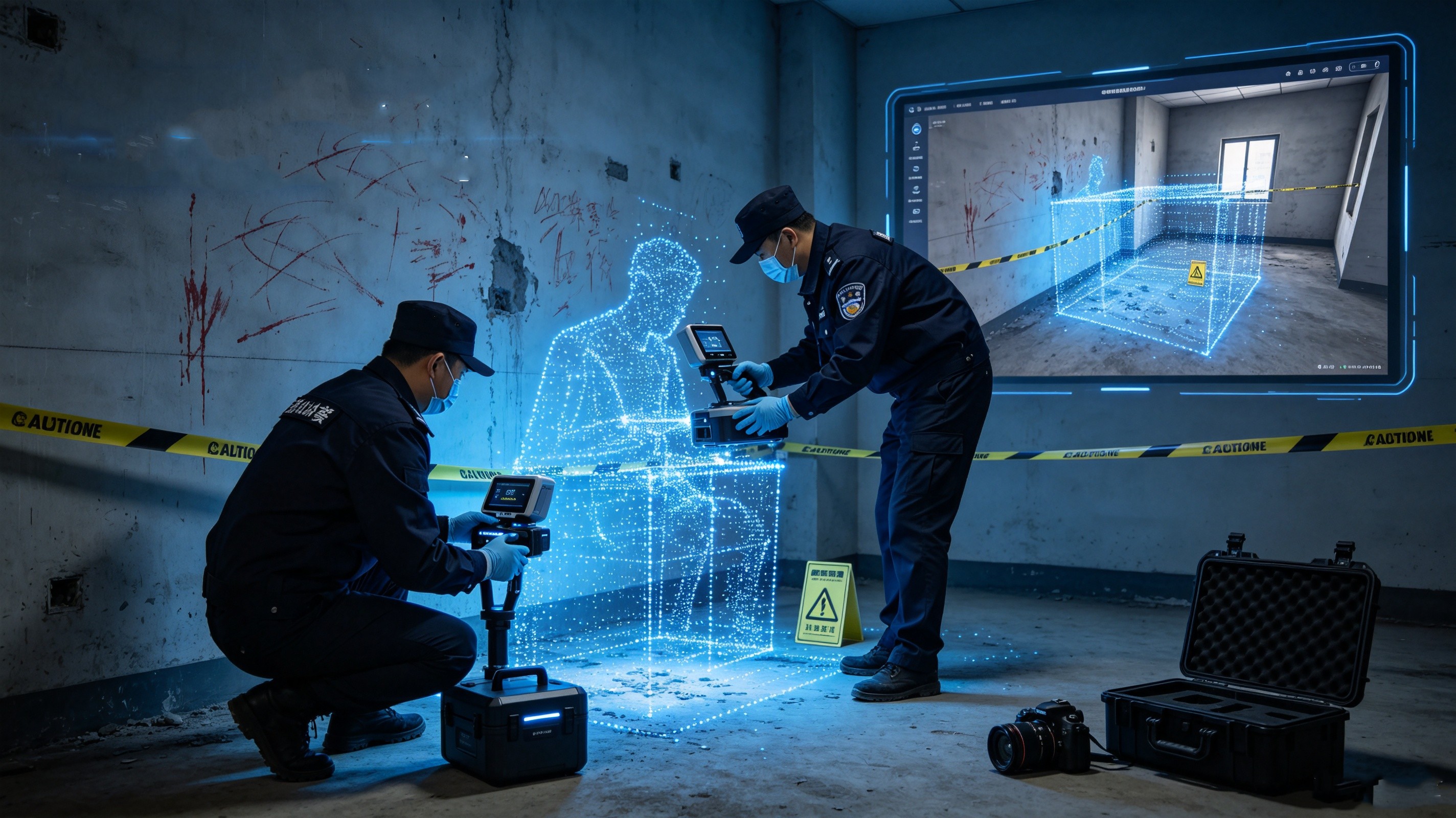
Overall Solution for 3D Digital Intelligence Construction of Public Security, Procuratorate and Court Authorities

News
Learn moreLatest news and updates
/
Serve customers
Share opportunities and grow together with your partners.
Leave a message for consultation
Welcome to share your information with us!
The information you provide will help us serve you better.
National High-tech Certification Enterprise
Intellectual Property Management System Certification
Member of the Chinese Museum Association
China's Compulsory Quality Certification 3C